Saturday, June 21 -
Friday, June 27
Niagara Falls
We left Toronto and its traffic and headed to Niagara Falls for three days of impressive sightseeing. After a great visit to the Niagara Falls, we ended our tour of the Great Lakes and drove to Virginia where we are meeting up next week to be contestants in the hot new TV reality show "Four Couples, One House, One Week, Can They Survive?"
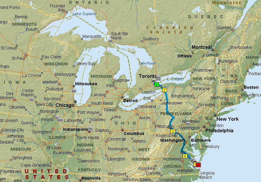
Snapshot of week's route
Saturday, June 21:
We drove from Milton, Ontario (outside of Toronto) to Niagara Falls, Ontario (64 miles); an easy drive. After setting up, we spent the afternoon and evening relaxing and planning our attack on the falls.
Sunday, June 22:
We took the local bus to the Niagara Falls Park, Canada. It is a spectacular sight coming down the hill and getting the first sight of the falls.
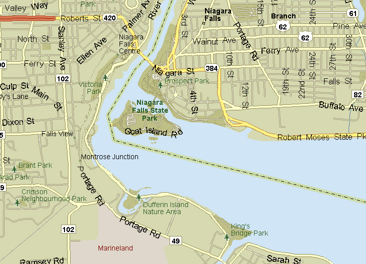
See map snippet below: water flows upward (at least on the map). There are two parts to Niagara Falls: the Canadian "Horseshoe" Falls and the American Falls. Water (and a lot of it) comes from Lake Erie through the Niagara River (36 miles) to Lake Ontario . But, God decided to show off and He built Lake Erie 99 meters (325 feet) higher than Lake Ontario. So, through the Niagara River, the water has to descend down many rapids and fall over a cliff (Niagara Falls) to drop 325 feet. Niagara Falls is about 51 meters (167 feet) high. Since there was enough to go around, Canada and the US decided to set their border down the Niagara River, with Ontario, Canada on the left and New York, USA on the right. On the map snippet, you can see Goat Island, which belongs to the US. All of the water going to the left of the island goes over the Canadian Falls and all of the water going to the right of the island goes over the American Falls.
We viewed the falls from the Canadian side. There are different advantages to viewing from each side but the Canadian side allows you to look across at the falls while still getting up close and personal to the Canadian "Horseshoe" Falls.
Pictures and commentary cannot give justice to experiencing Niagara Falls!!!
We spent the first part of the morning walking and enjoying the falls. With only a slight breeze, the spray from the Canadian "Horseshoe" Falls rained down on us.
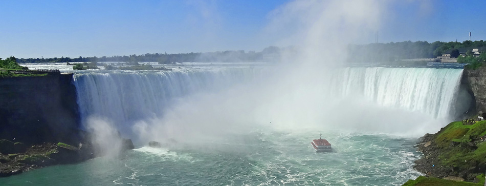
The Canadian "Horseshoe" Falls
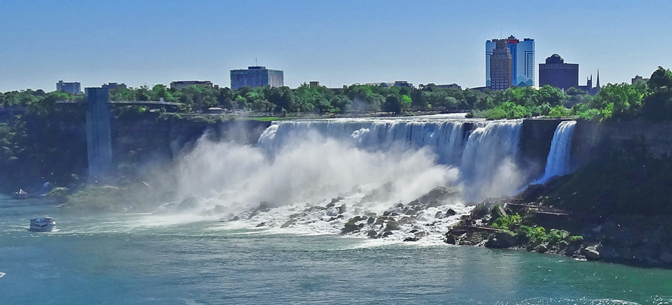
The American Falls
Like most people visiting the falls, we took the boat that takes you up to the falls. When the boat was close to the falls, we were unable to take pictures due to the pouring water spray and whiteout. The boats that leave from the US side are called "The Maid of the Mist," while the boats leaving from the Canadian side are called "The Hornblower." If you are on The Maid of the Mist, you wear a blue garbage bag (poncho) and if you are on The Hornblower, you wear a red garbage bag.
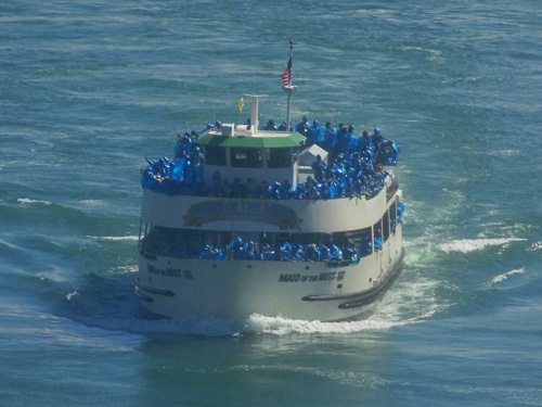
Blue garbage bags - Maid of the Mist - American side |
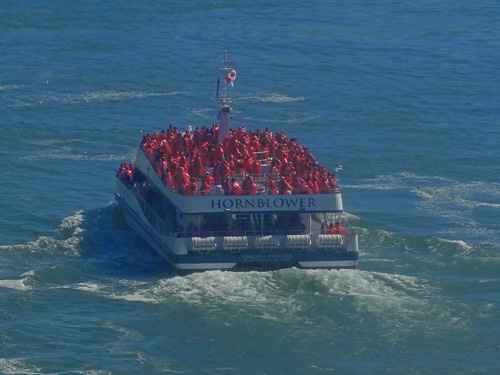
Red garbage bags - Hornblower - Canadian side |
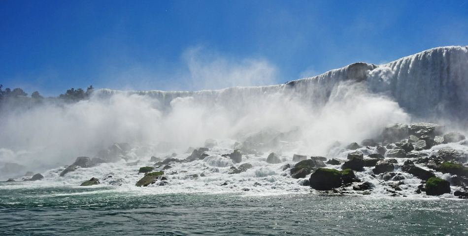
The American Falls
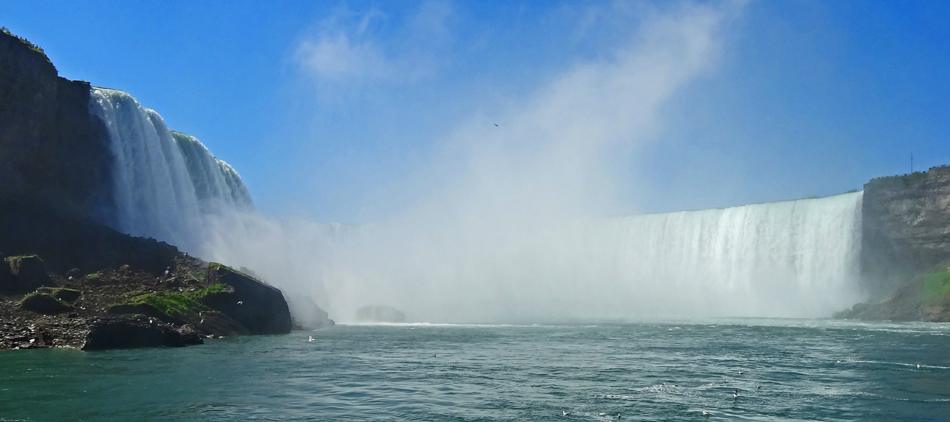
The Canadian Falls

American Falls in foreground on left, Canadian Falls in
the back on right, Goat Island between them
In the afternoon, we took the "Journey Behind the Falls" tour where we went next to the Canadian "Horseshoe" Falls and through a tunnel to see a glimpse of the power of the falls from behind. For this, we were issued yellow garbage bags to wear.
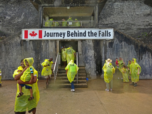
The portal to behind the falls. |
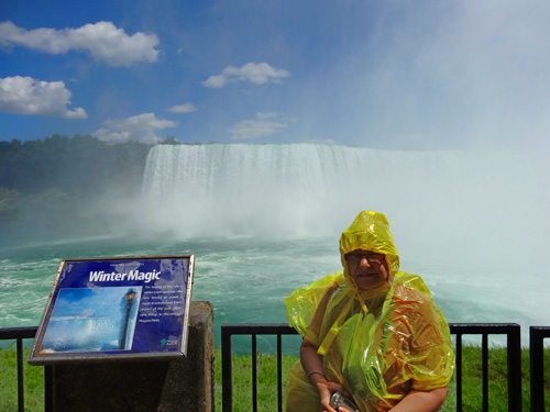
Becky ready for the adventure! |
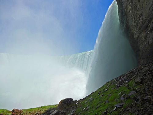
Up close to falls. Hear the thunder? |
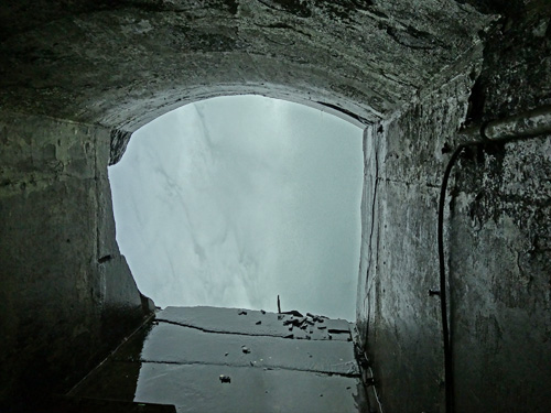
Looking out at the inside of the falls. You can feel it rumble! |
Monday, June 23:
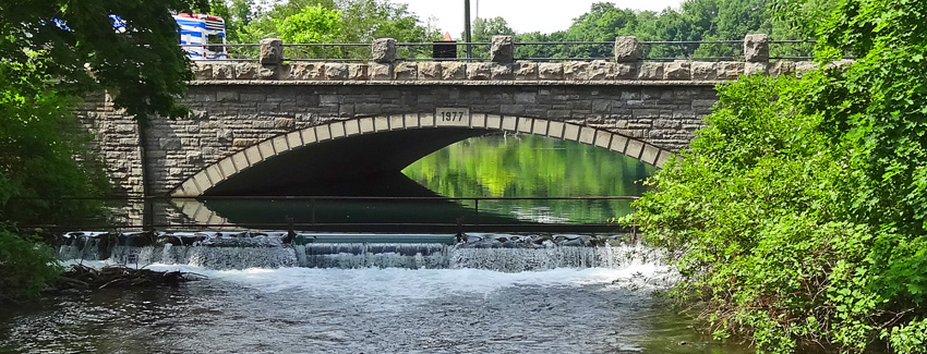
We returned to Niagara Park and began our day exploring a short way above the falls. We came across the beautiful Spillway Falls (my name for them). Much less photographed then the Niagara Falls but just as magnificent in their own way. The water running over these falls actually makes Niagara Falls possible. And someday, these falls will be taller and broader than Niagara Falls and you will have seen them here first!
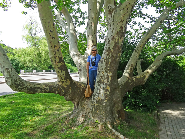
Becky returned to her childhood when she spotted "Racine Tree." A difficult climbing tree that Becky conquered. Note: Micah (our grandson) named a tree that he climbs in his backyard "Sacramento Tree."
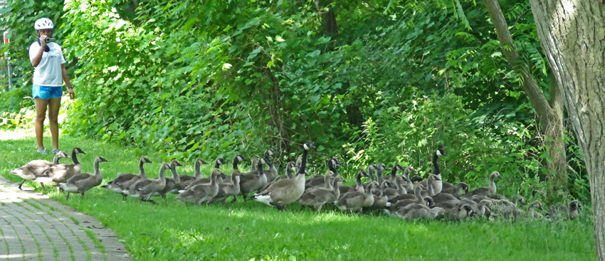
We found that school gets out much later in Canada as we came across this flock of Canadian Geese still in school.
After exploring up stream for a while, we headed down to Edgewaters for lunch. This time, I had just as good a lunchtime view as Becky. We took an extra long lunch and enjoyed the view.
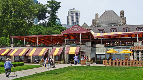
Edgewaters |
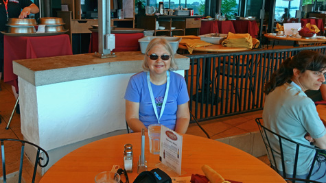
Becky, my special lunchtime companion. |
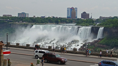
My lunchtime view. |
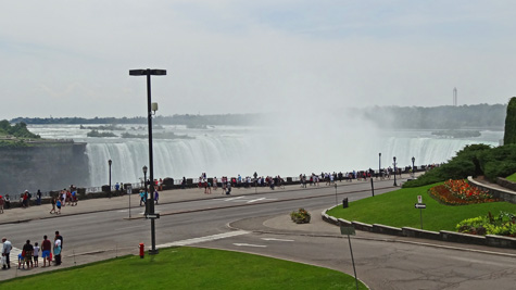
Becky's lunchtime view. |
After lunch, we explored more of the parkway and headed to White Water Walk. At the White Water Walk, we took an elevator ride down to river level to walk along the river shoreline to view a section of Niagara River rapids. These rapids are classified as "Class 6: Extremely difficult to successfully maneuver due to steep vertical drops and boulders. Usually considered unrunnable." The water rushes by at about 30 mph and waves can get 8 to 12 feet high. Time to get the kayak out!!!
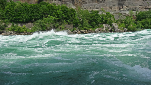 |
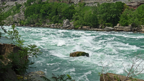 |
This brought us to the end of another long day and we said "goodbye" to Niagara Falls.
Tuesday, June 24:
We found out that not all (or none) of the ships working the Great Lakes like to go over Niagara Falls. So, Canada built the Welland Canal several miles west of Niagara Falls. The Welland Canal is 27 miles long, dredged out and includes seven locks. The seven locks along the canal allow ships to rise or drop the 325 feet between Lake Erie and Lake Ontario.
In the morning, we went to the Welland Canal Centre Museum, which includes a viewing platform at lock 3. Lock 3 allows ships to rise or drop 46 feet. While at the museum, we saw the CSL (Canadian Steamship Lines) Niagara traverse the lock.
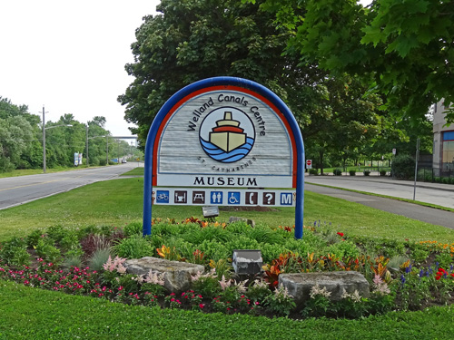
We visited the Welland Canal Center Museum |
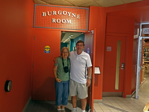
At the centre, we discovered a room dedicated to us! |
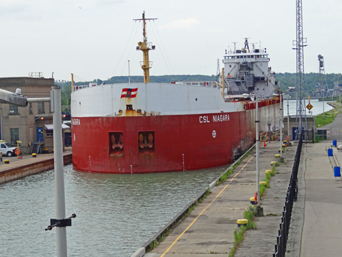
CSL Niagara entering lock 3. |
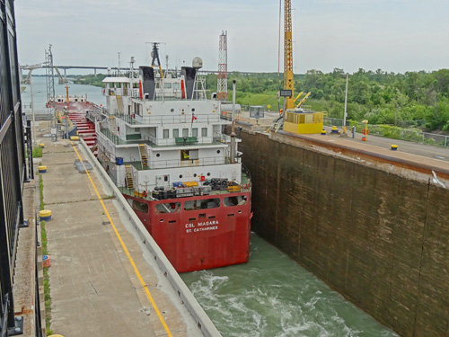
CSL Niagara dropped 46 feet and now exiting the lock. |
For the afternoon, we drove down to Old Fort Erie, on the Canadian shore of Lake Erie at the mouth of Niagara River. Before exploring the fort, we sat in the truck and ate lunch facing Buffalo, NY across Lake Erie.

Buffalo, NY skyline. Our lunchtime view.
Okay, I will admit it, I must have slept through (or been throwing spit wads) during high school history class when the War of 1812 was taught. I knew there was a War of 1812 but I didn't know anything about it. We learned that the War of 1812 was between the USA and the British, mainly in Canada. Britain was doing some things that ticked off the Americans and the US thought that if they just marched into Canada, they could kick out the British and take over Canada; that would teach them a lesson. They couldn't. We learned about the history of Fort Erie (on the Canadian side of Lake Erie facing Buffalo, NY). The US captured the fort from the British and held it against an extensive siege by the British. However, honestly, the British main focus wasn't the war with the US but their battles in Europe. We enjoyed the tour of the fort and history lesson.
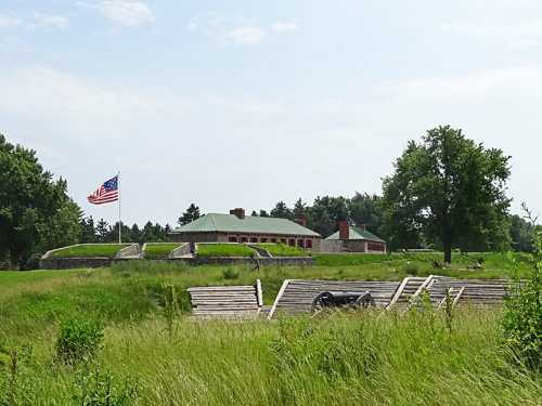
Old Fort Erie |
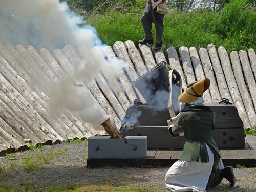
Demo of a small, portable mortar, with a VERY BIG BANG! |
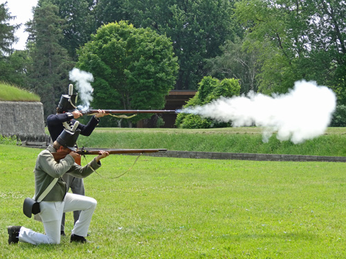
Musket firing demo; one misfired. |
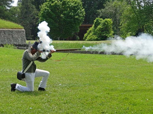
Reload and this time it worked. |
Wednesday, June 25:
Time to finish our tour of the Great Lakes.
We left Niagara Falls, Ontario and headed across the border to New York, through New York and down Pennsylvania to Bedford, PA for the night (286 miles). Most of the drive was on rural routes through the Allegheny Plateau and Mountains in pouring rain. But still a pretty drive.
Thursday, June 26:
We drove from Pennsylvania to Gloucester, Virginia (274 miles). We drove along the Washington DC Beltway and fortunately we were only delayed about one hour due to traffic (what I had planned for). The northbound traffic looked like it was at least 2-3 hours delay.
Friday, June 27:
Cleaning, laundry, shopping, fixing, and paperwork. And preparation for ""Four Couples, One House, One Week, Can They Survive?"