Icefields Parkway
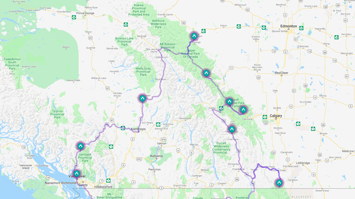
If you look at the map below, you will see a clip from our trip planning tool, RVTripWizard.com. From Vancouver, we went north for a short way to Whistler and then northeast to Clearwater (Wells Gray Provincial Park). From there, we continued northeast to Jasper. Jasper was our northern most stop.
The road from Jasper through our next three stops heading south (Glacier Discovery Centre, Lake Louise, and Banff) are called "Icefields Parkway" and it is gorgeous. This is arguably the most scenic national park(s) in Canada. This was our third RV trip to the Icefields Parkway in the past 20 years and we thoroughly enjoyed it,
Due to the number of pictures, this post is divided into multiple parts.
Jasper
We pulled into our RV Park in Hinton (east of Jasper) on a rainy day for a four-night stay. Well, the RV park was packed dirt and on a slope. Our site was difficult to get into due to trees and a stump. It took me 20-minutes to get oriented and parked with Becky out in the drizzly rain trying to guide me. Okay, once parked, I deployed the leveling jacks. I should have pulled the front wheels onto blocks to get the front higher before leveling. The front sloped down a little. After four days on dirt with rain, we sloped even lower. We got our exercise climbing uphill from the front to the back.
We began our sightseeing by stopping by the visitor center in the town of Jasper to get oriented. From there, we headed to the Jasper SkyTram and up the mountain for a spectacular view, oh, and lunch.
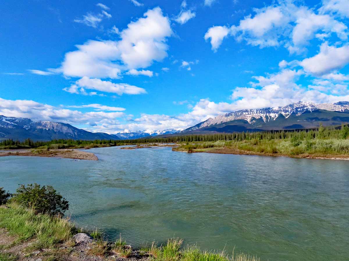 The Jasper valley is littered with many lakes and streams. They are a blueish green from the sediment they carry. |
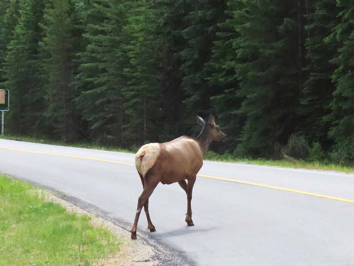 On our way to the SkyTram - Why did the elk cross the road? Because she didn't want to have her picture taken. |
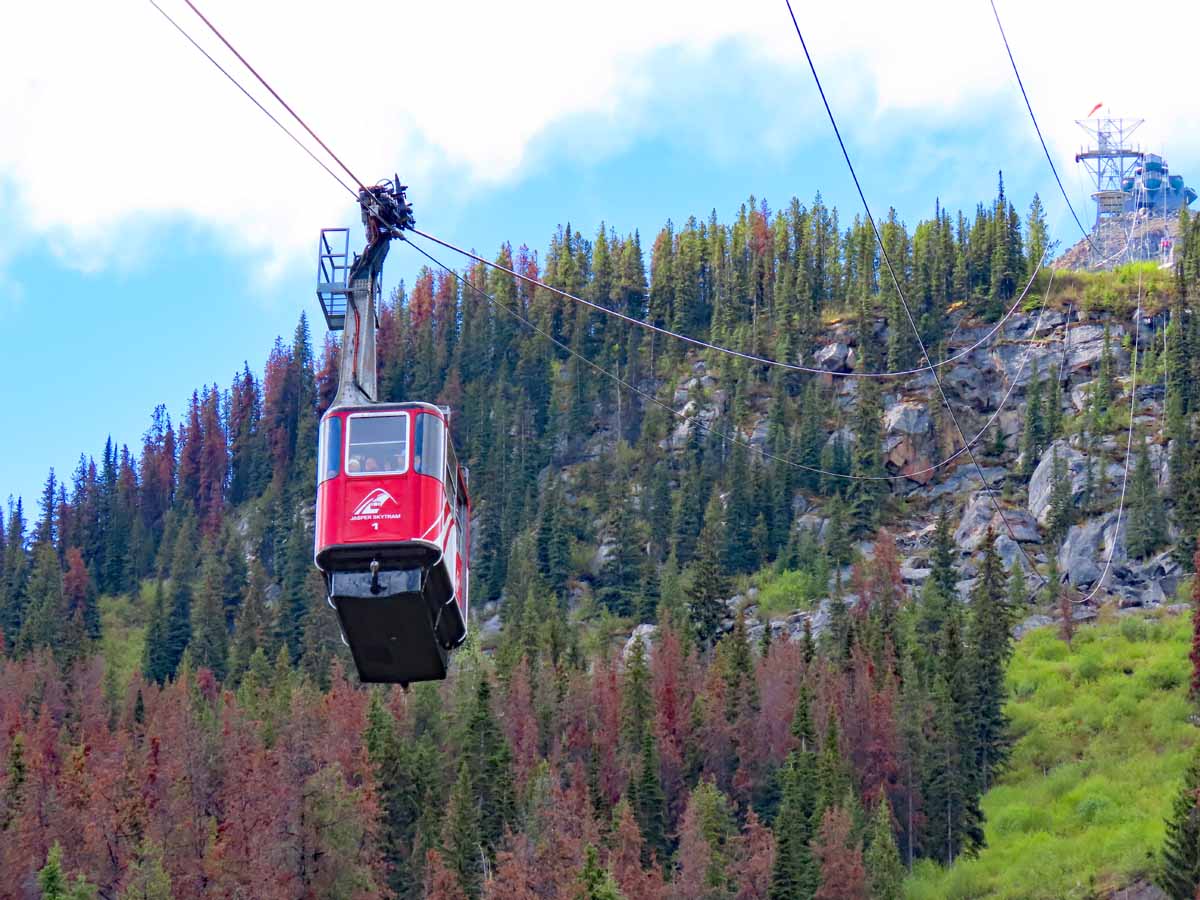 We took the Jasper SkyTram to the top of Whistlers Mountain. It is the longest and highest guided aerial tramway in Canada. The top is at 7,470 ft. |
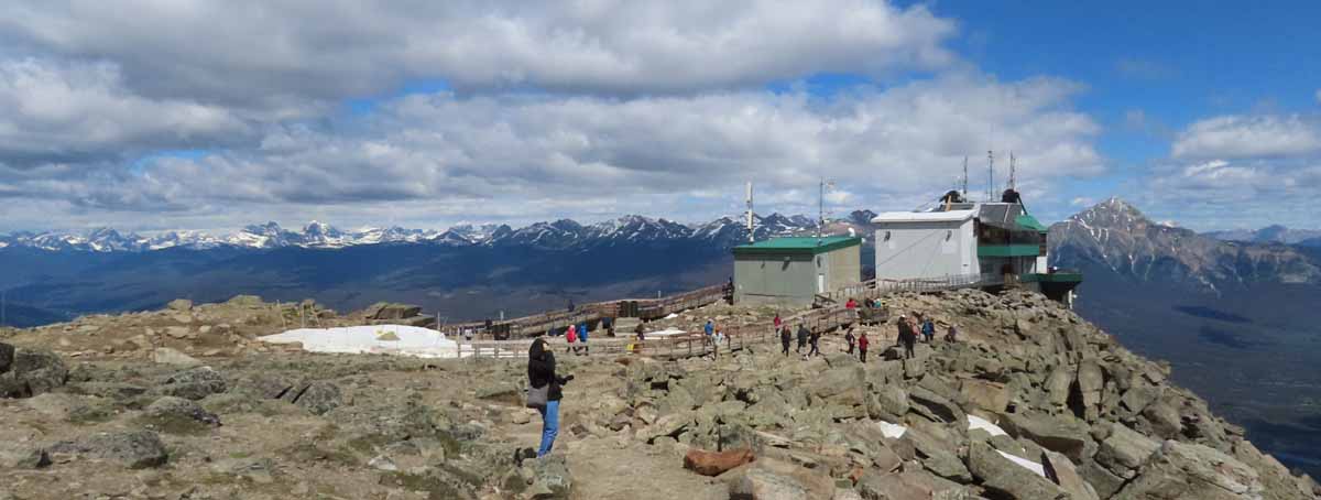 The top of the SkyTram. |
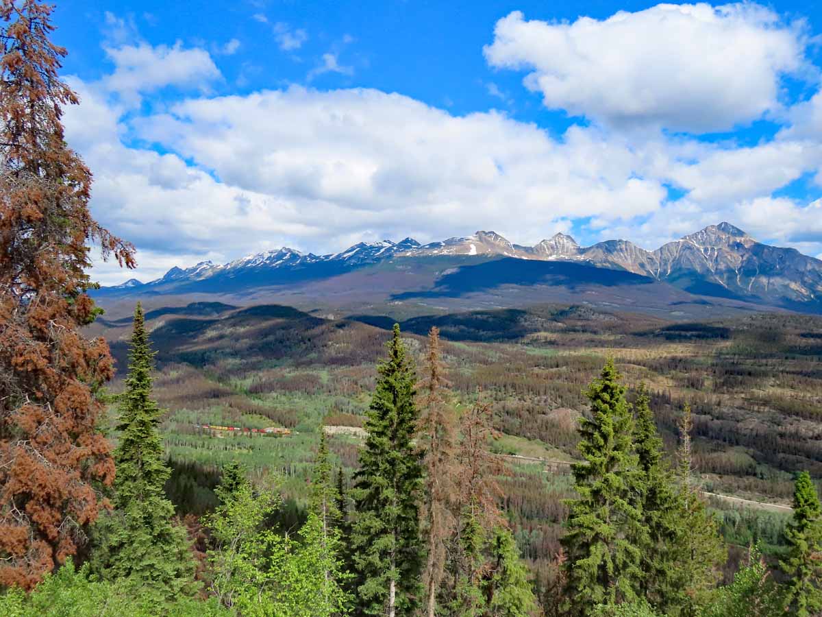 A magnificent view from the top of Whistler Mountain looking out west across a valley to the range of mountains beyond! |
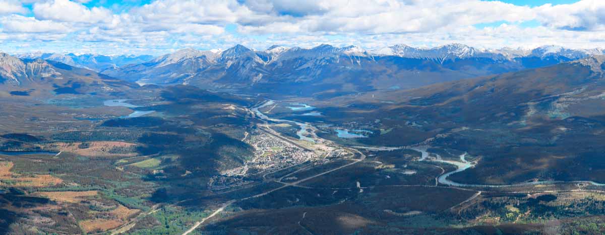 Our panoramic view southeast and the town of Jasper in the valley. |
 The valley below has many lakes, rivers, forests, and steams. |
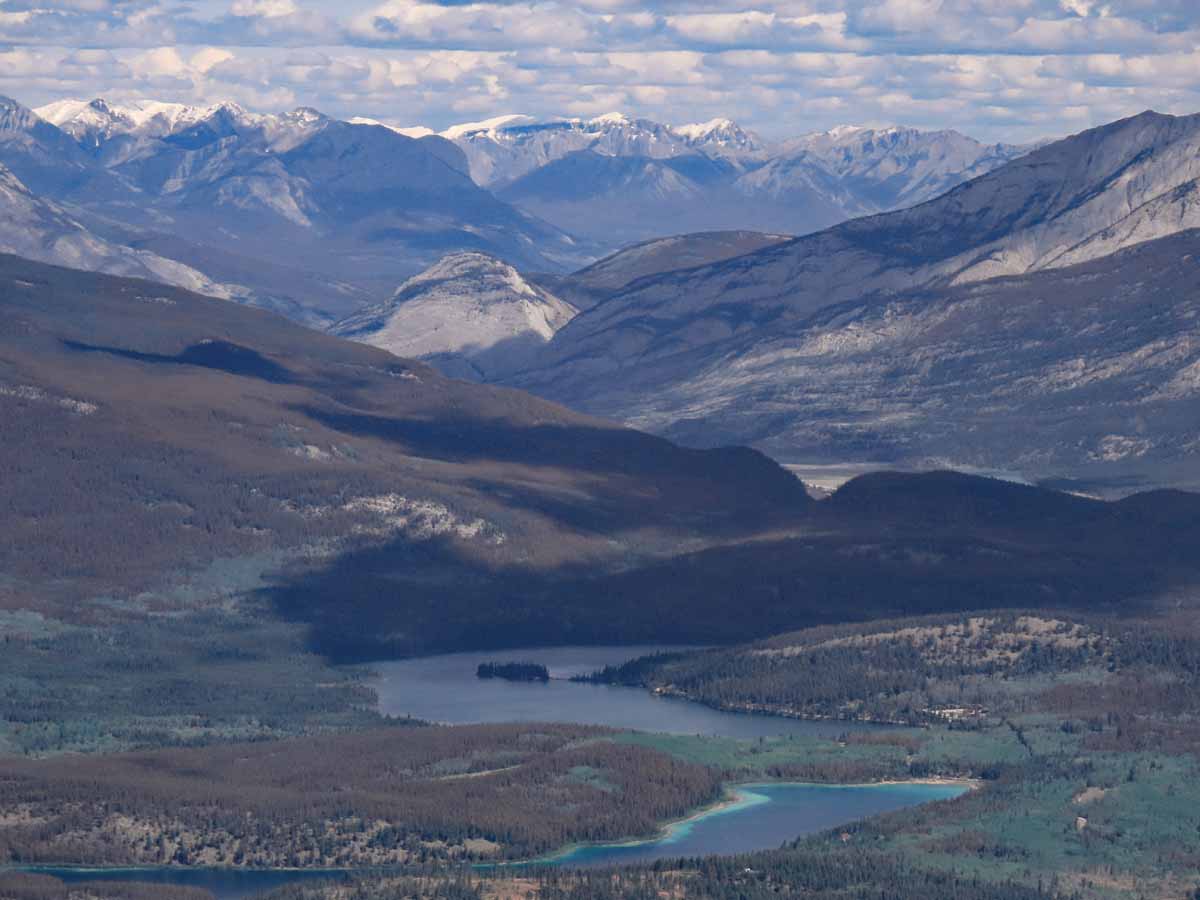
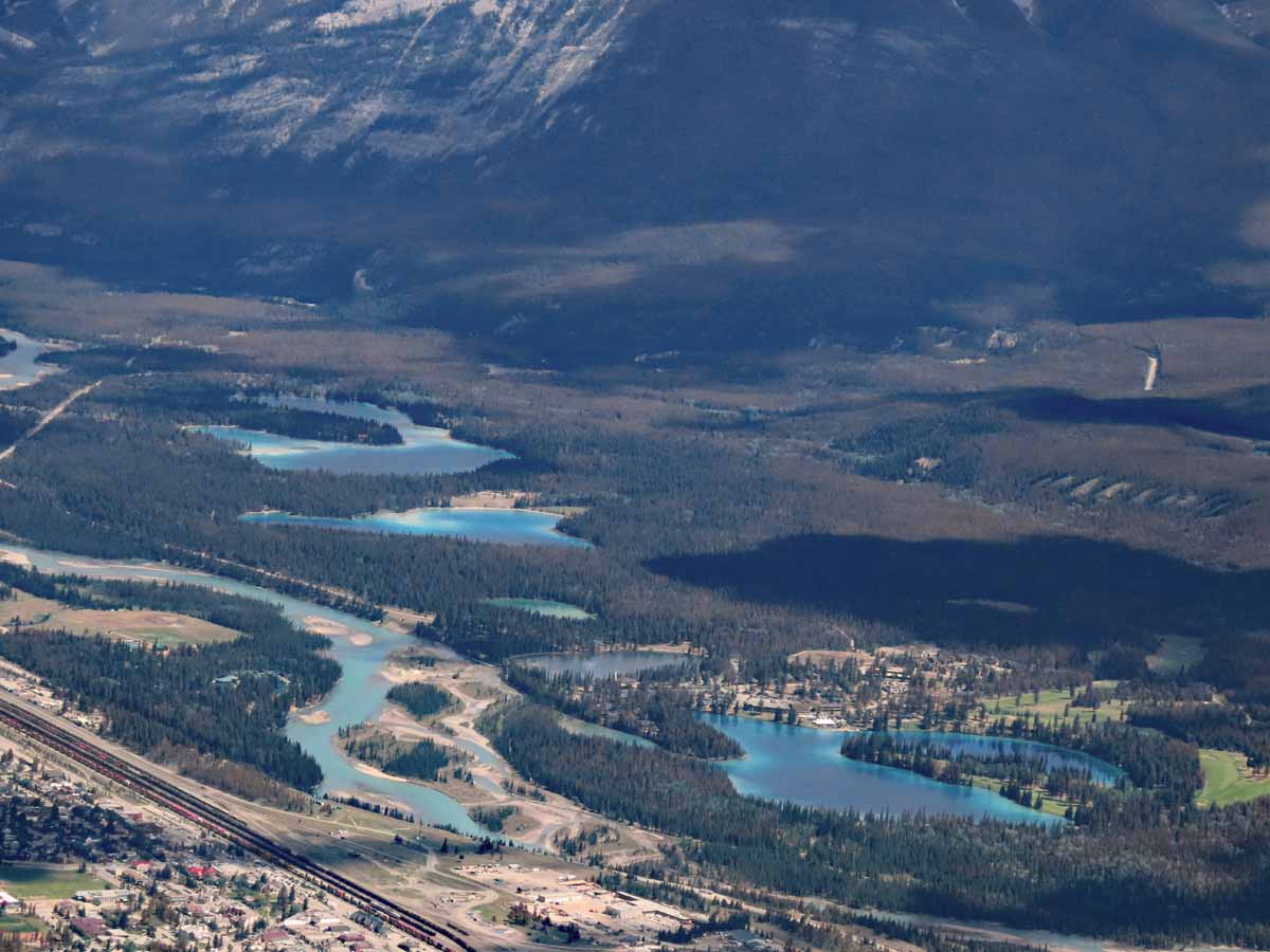 Jasper and more lakes, rivers, and streams. |
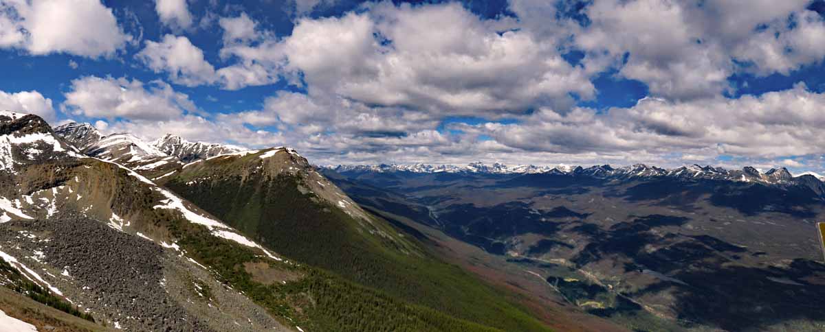 Another spectacular view. We spent over two hours at the top of the world and ate lunch with a great view (lunch picture didn't come out) before heading down the mountain. |
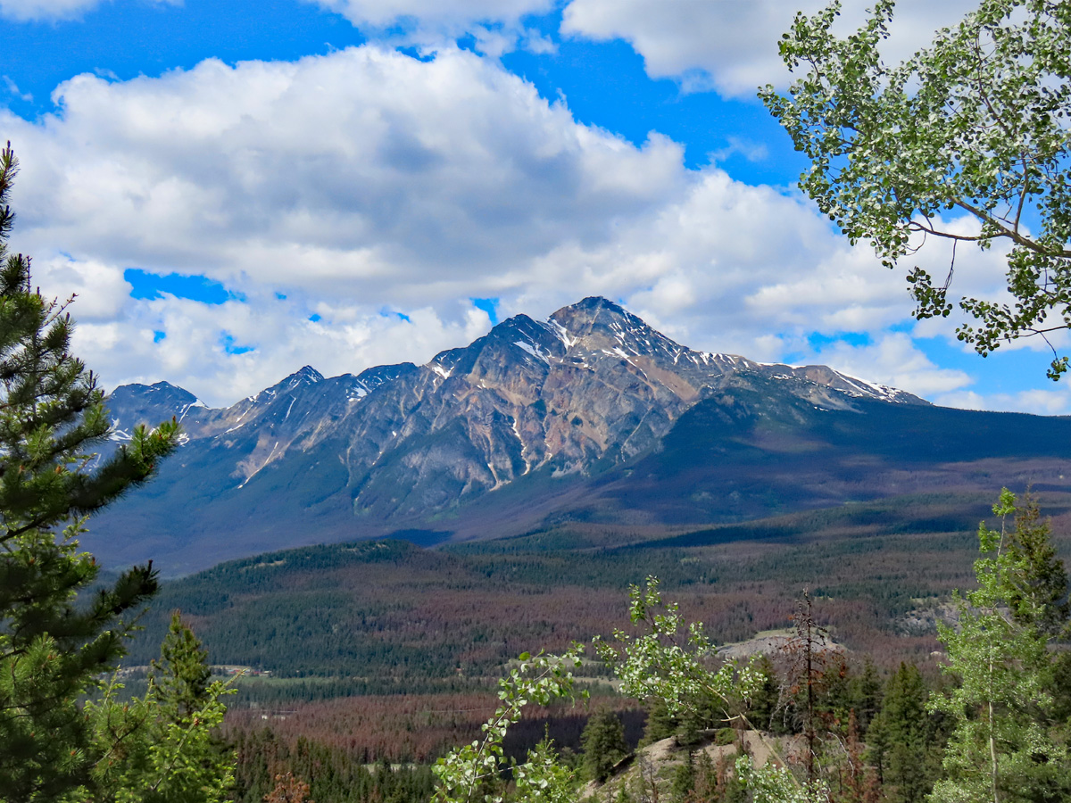
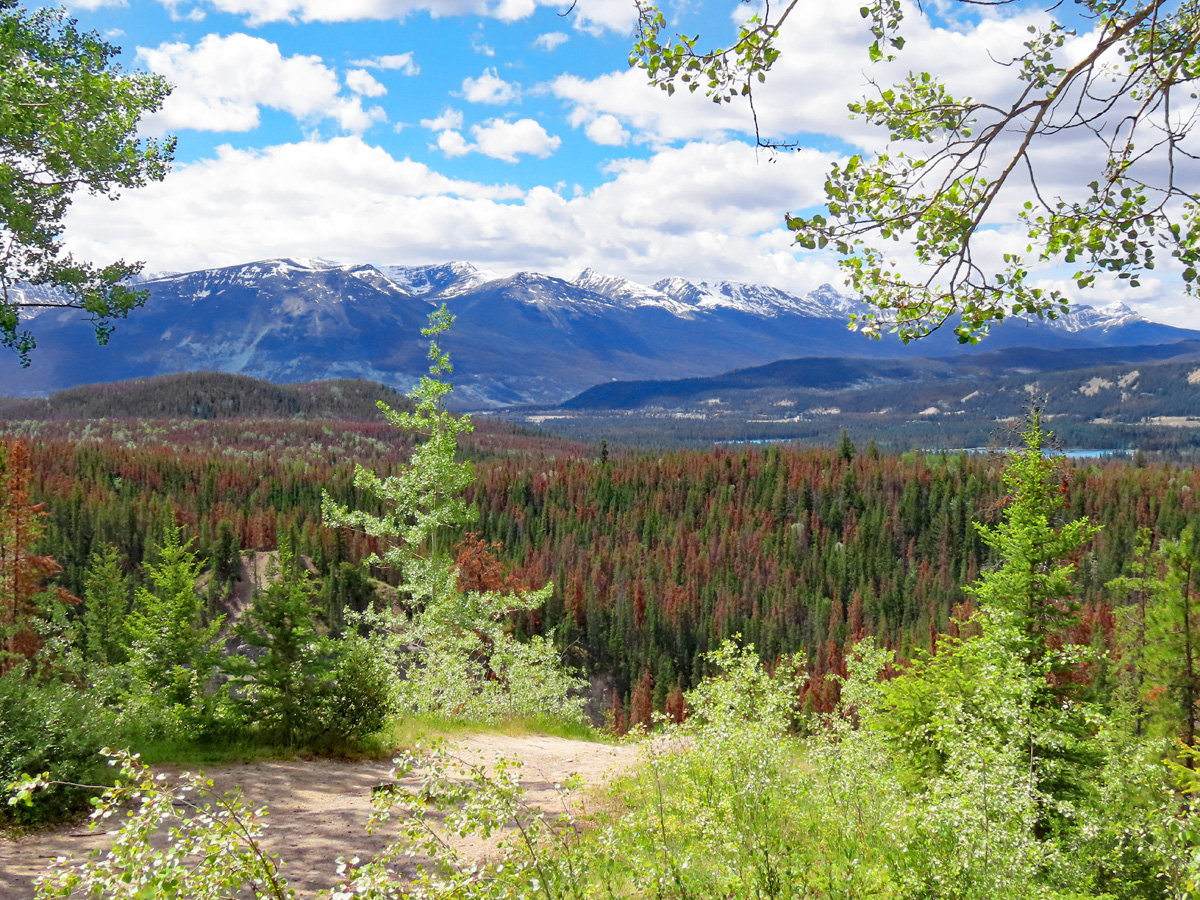 Maligne Canyon - the brown trees in the forest are ones that have been killed by beetle infestation. |
 On our way to Maligne Lake. |
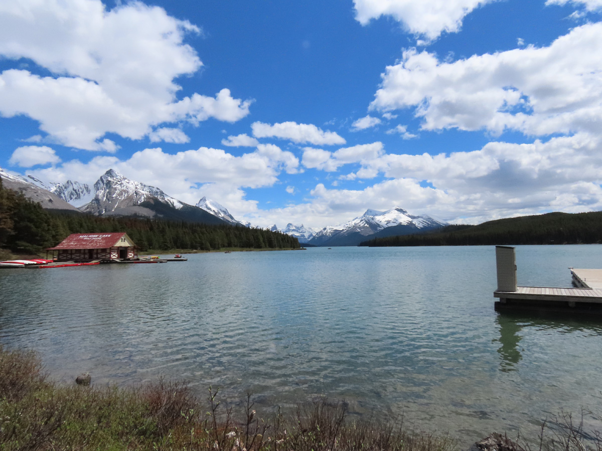 View of Maligne Lake. We got here too late to take the boat cruise of the lake, too bad. |
Icefields Parkway - Jasper
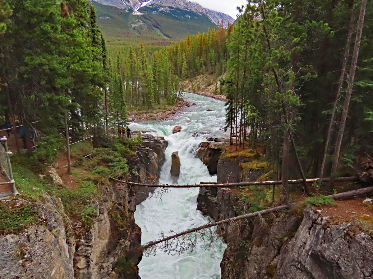
After getting out of the mud in the RV park in Hinton, we headed down the Jasper end of the Icefields Parkway to the Glacier Discovery Centre where we spent the night in the RV parking lot. In my opinion, the Jasper end of the Icefields Parkway is the most attractive part with many viewpoints and short hikes. On the way down to the Glacier Discovery Centre, we hiked into Athabasca Falls - probably the best sight along the parkway - and Sunwapta Falls.
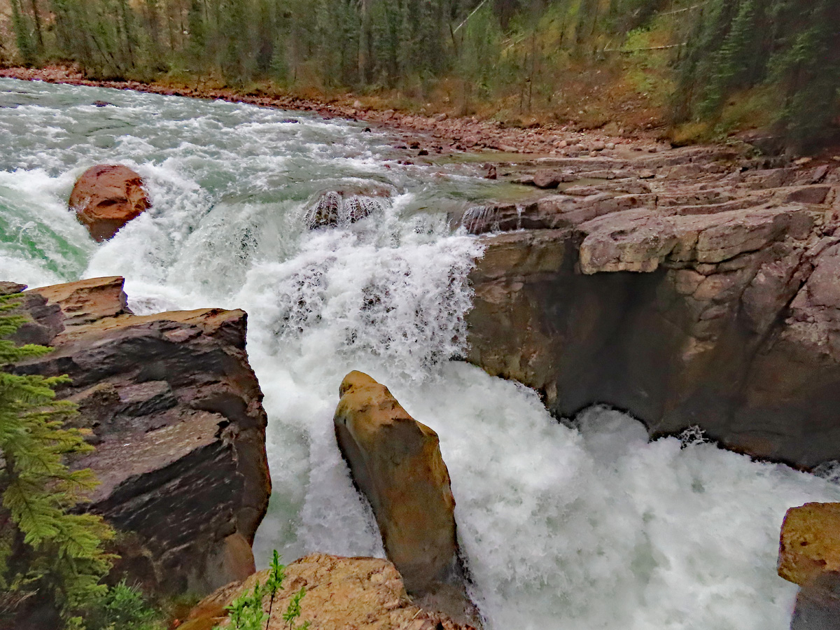
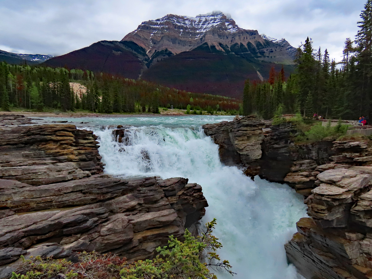 Athabasca Falls. Since it was a wet winter and it is now spring, the water is rushing. Can you hear it?! |
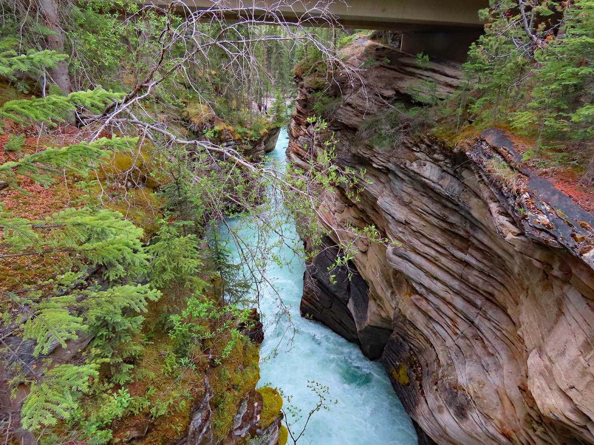 After the falls, the water heads down a canyon to a lake. |
 Another view of the Athabasca Falls. |
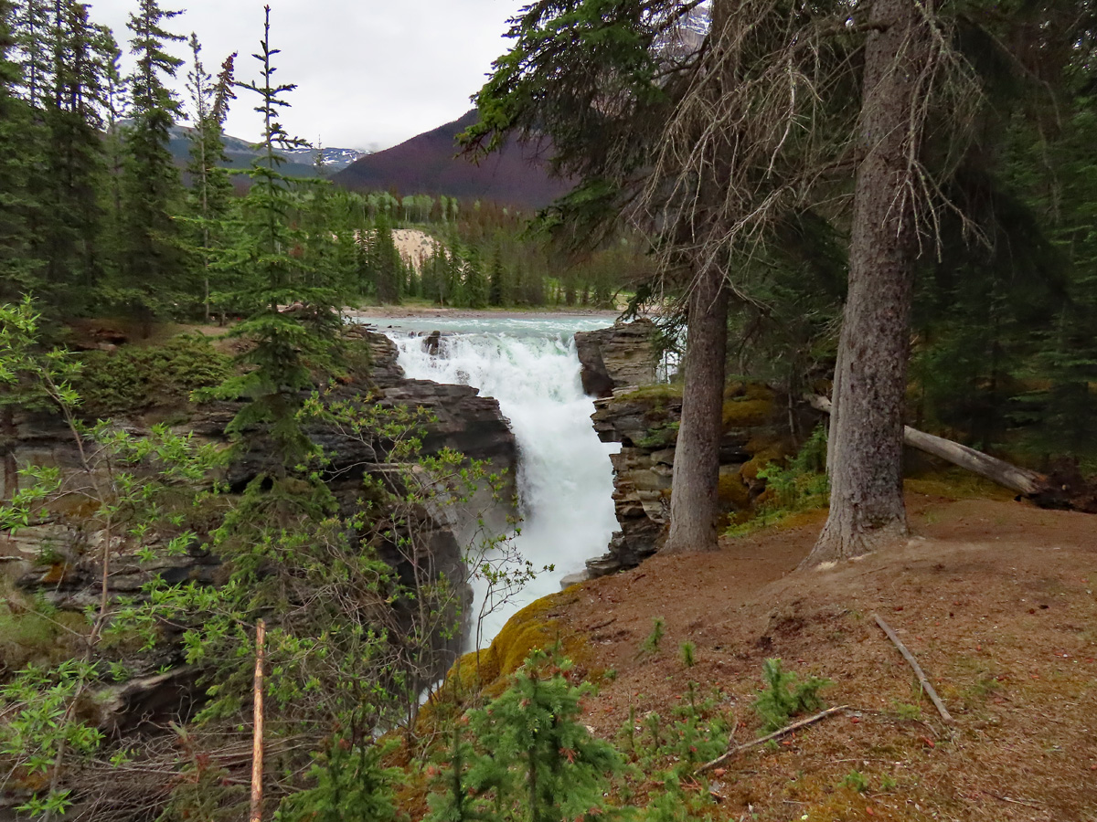
 The river before the falls. |
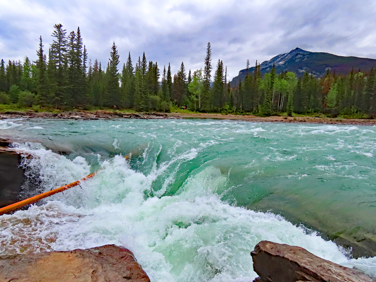
 Sunwapta Falls is another great hike along the parkway. |
 The swelling river running over the falls. |
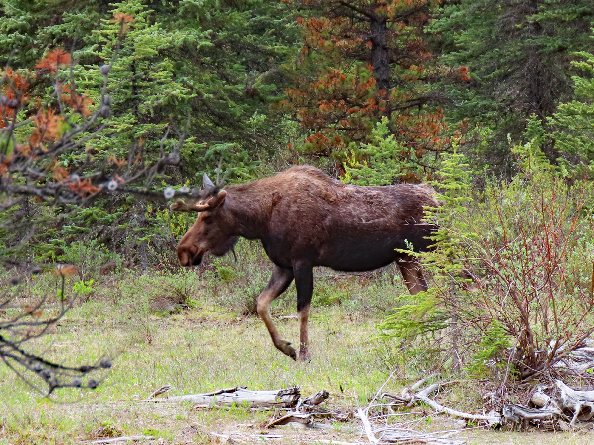 Another great sight along the parkway, a moose. |
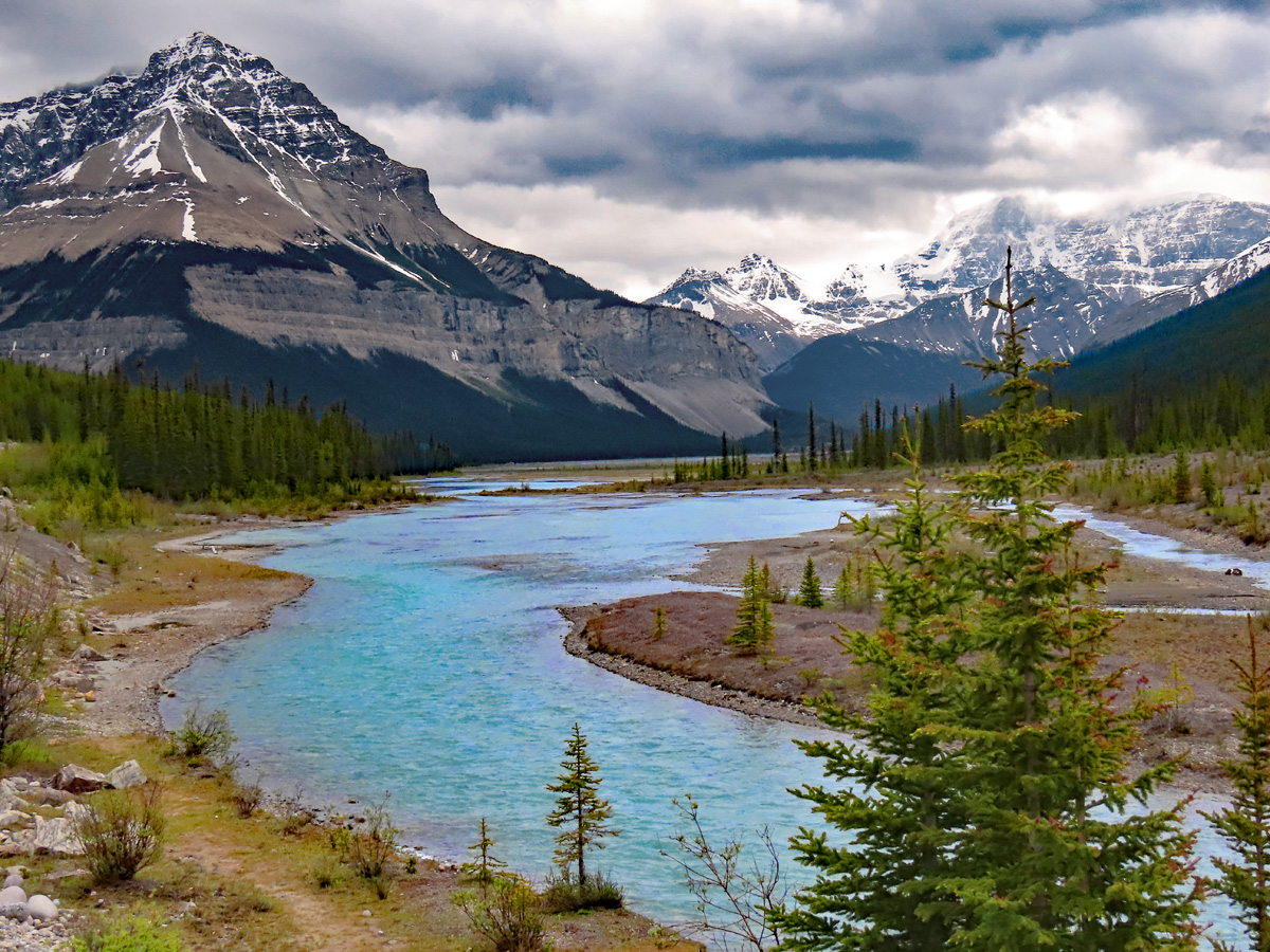 The upper part of the parkway follows the Sunwapta River. The water is a pure blueish-green color (or colour). It comes from the sediment picked up from the snow and glacier melt. It makes for a beautiful drive. |
Stay tuned for Part B!